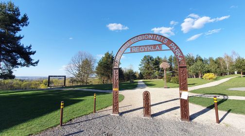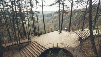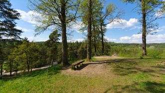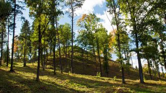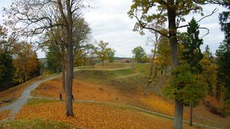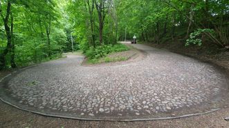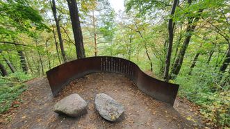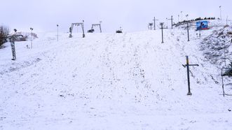
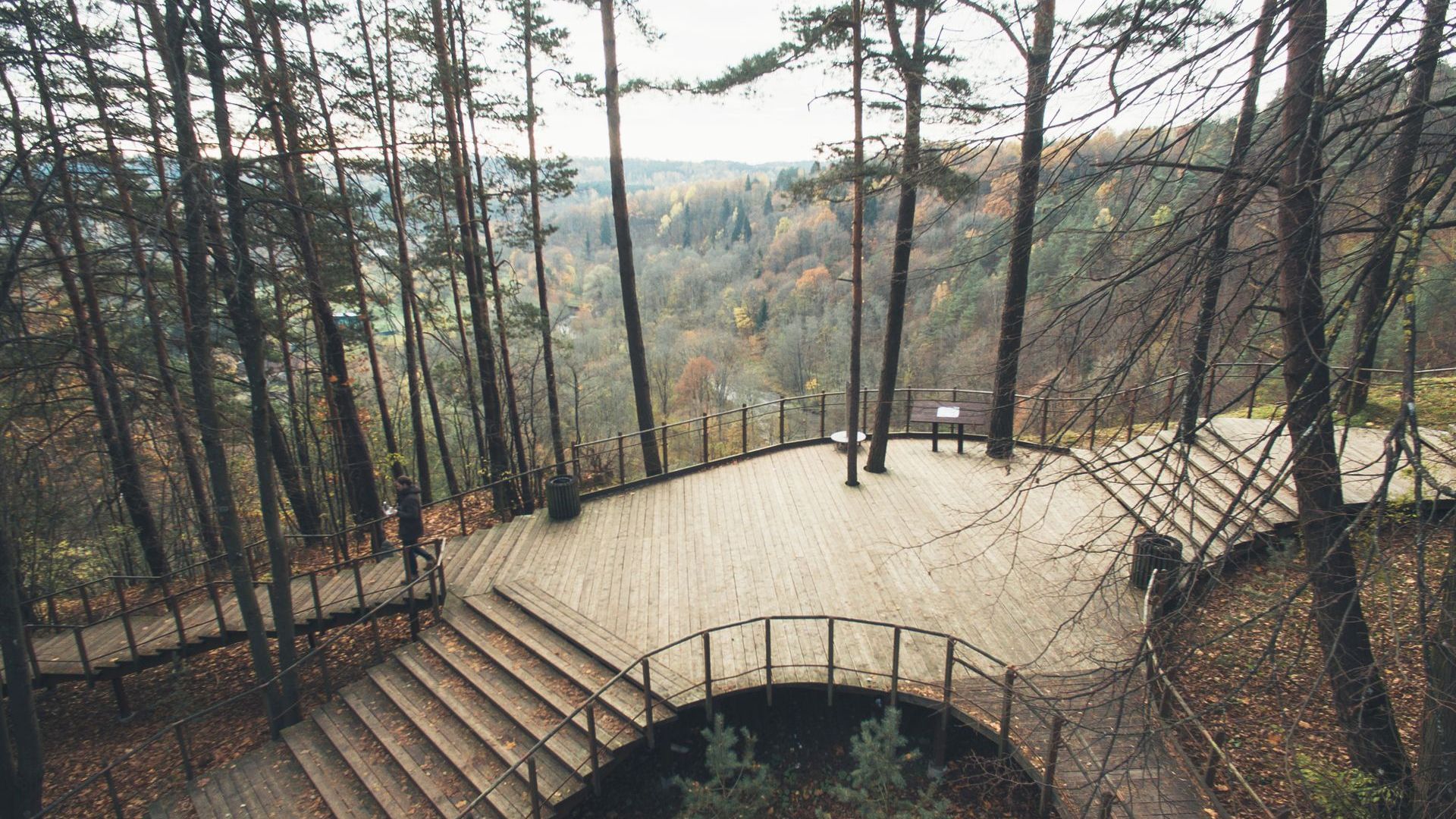
The distinctive hilly relief formed during the Ice Age, spreading along the outskirts of Vilnius, is the unique feature of the Pavilniai Regional Park. It is the smallest regional park in Lithuania, covering an area of 2162 hectares. This area is characterized by very large differences in elevation, various geomorphological formations such as mounds, kames, eskers, and moraines, which have bestowed the park with exceptional landscapes. Within the territory of the regional park, there are more than 15 locations that offer picturesque views of the regional park or specific districts of Vilnius.
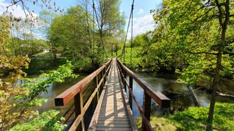
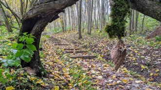
The unique relief of the Pavilniai surroundings is preserved in five landscape and two geomorphological reserves. These were established to protect the erosional hills (moraines) of Kalnai, Šveicarija, Iškartai, Barsukinė, Rokantiškės, Markučiai, and Tuputiškės with characteristic plant communities, the landscape of Ribiskiai and Sapiegine erosional valleys, the large sinkholes, and the Vilnia River valley.
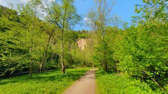
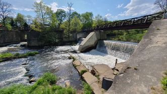
A pride of the park is the Pūčkoriai Exposure, which is one of the highest points in Lithuania. From there, one can observe not only the massif of hills and the winding Vilnia River but also a piece of the park's cultural heritage. At the bottom of the exposure, there are remains of old Pūčkoriai brewery buildings and cannon foundries, while below, there are restored structures of an ancient mill. A bit higher, on the slope of the Vilnia River, stands the Pūčkoriai Hillfort with remnants from the Stone Age settlement.
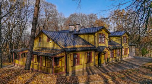
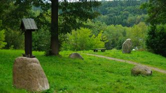
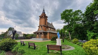
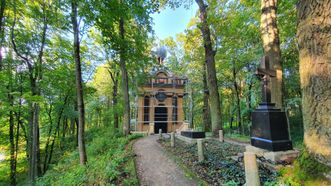
The Pavilniai Regional Park boasts a rich cultural heritage. In addition to those mentioned, it includes the Rokantiškės Hillfort and Castle Hill, burial mounds, the estate of Markučiai Manor, the Kučkuriškės Paper Mill, and the technical monument – Tuputiškės Serpentine. The park is abundant in defensive fortifications built in the first half of the 20th century.