
Dzūkija
1
Photo
The name "Dzūkija" started to be used only in the 19th century. It originated from the linguistic peculiarity of the Dzūkija' people, who pronounced "c" and "dz" instead of "t" and "d." However, Dzūkija also has another name for its land – "Dainava," which is associated with the Jotvingian tribe known as the Dainaviai, who lived on the right bank of the Nemunas River and in the Merkys Basin in the late Iron Age. "Terra Deynowe" (Land of Dainava) was first mentioned in 1253 in King Mindaugas" donation deed to the Livonian Order. The name "Dainava" was popularized in the 20th century, particularly by Vincas Mickevičius-Krėvė.
The current capital of Dzūkija is referred to as Alytus. However, since ancient times, the important economic, cultural, administrative, and organizing center for the region was Merkinė. The flags of Alytus and Merkinė belonged to the Trakai Voivodeship, and they were used to distinguish the nobles of these regions in times of war. Alytus gained significance with the establishment of the Alytus economy in the 16th century, and in 1775, the county courts were transferred from Trakai and Merkinė to Alytus. From the 19th century onwards, Alytus began to dominate politically, economically, administratively, and culturally, while smaller centers in Dzūkija, such as Varėna and Lazdijai, also developed.
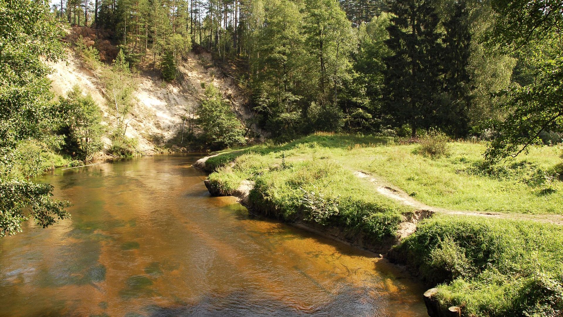
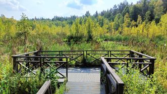
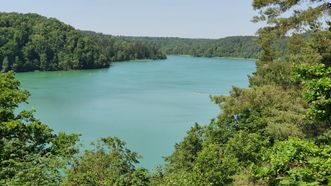
The Ice Age left behind the famous Dzūkija sand dunes and glacial lakes, a series of which stretches from Lazdijai and Veisiejai (through the large Dusia and Meteliai lakes, past Daugai Lake) to Trakai. South of the well-known Dzūkai River, in the sandy plain of the Merkys, lie the vast forests of Greater Dzūkija, extending from Kapčiamiestis through Druskininkai and Marcinkonys, Varėna and Rūdninkai, all the way to Vilnius, with Nemenčinė and Pabradė forests beyond it. The picturesque pine forests and charming swamps between the Ūla and Katra rivers surround the famous Čepkeliai Swamp, a realm of untouched nature. The earliest inhabitants of Lithuania settled in the sand dunes, and later, hillforts were built in the uplands. From Liškava and Merkinė to Punia, a series of castles lined up along the high Nemunas banks. The region includes Trakai and Vilnius, which marked the origins of the Lithuanian state and where the first important brick castles in Lithuania were built. The highest peaks in Lithuania, Aukštojas and Juozapinė, rise in the Medininkai Highlands.
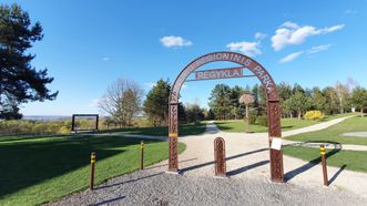
Points of interest
2055
Food
1332
Accomodation
848
3.9
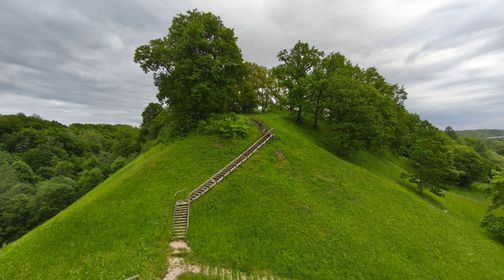
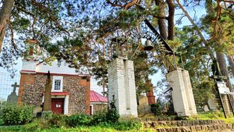
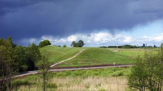
Mounds
Sights
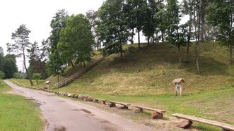
Alytus Mound
4.5
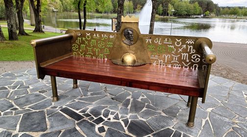
Small Architecture
Sculptures
Memorial Bench to M. K. Čiurlionis
3.8
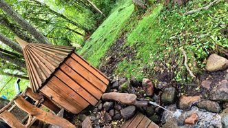
Springs
Aukštadvaris Spring
2.5
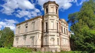
Manors
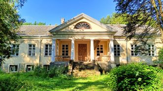
Aukštadvaris Manor
3.8
Mounds
Aukštadvaris Mound
3.0
Visitor Centers
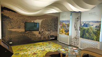
Aukštadvaris Regional Park Visitor Center
3.0
Architecture
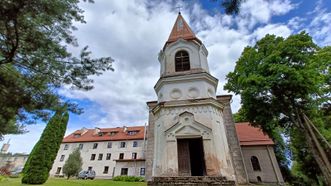
Aukštadvaris St. Dominican Monastery and Church
3.7
Terrain Objects
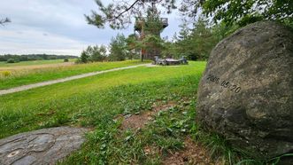
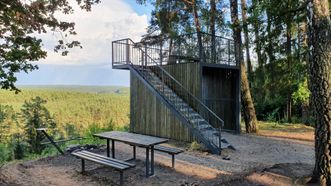
Aukštojas Hill
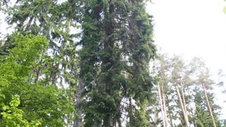
Botanical Objects
Tallest Spruce in Lithuania
4.6
Sights
Ausiutiškės Sight
4.1
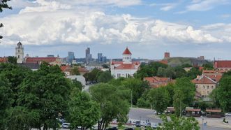
Sacred Sites
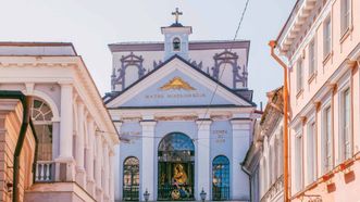
Gates of Dawn
4.3
Catholic Churches
Babriškės St. Michael the Archangel Church
4.0
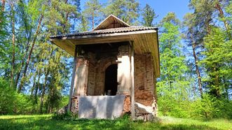
Chapels
Balkasodis Chapel
4.0
Sights
Balsys Sight
3.0
Manors
Baltoji Vokė Manor
4.6
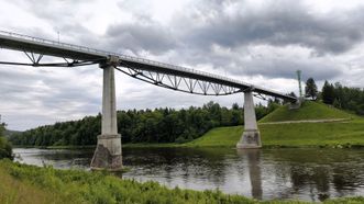
Pedestrian Bridges
White Rose Bridge
4.4
Sights
Bastea Hill Sight
Mounds
Bernotai Mound
4.0
Sights
Birbynės Sight
Loading...

Explore Lithuania & Plan Your Trip
©2026 trip.lt