
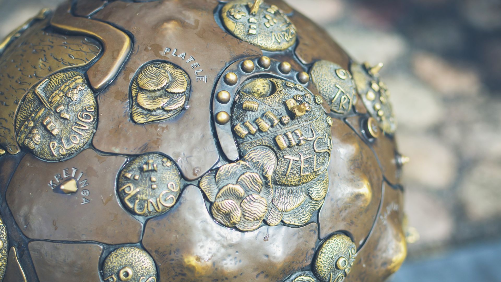
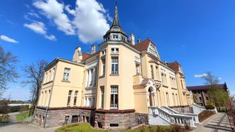
Samogita
2
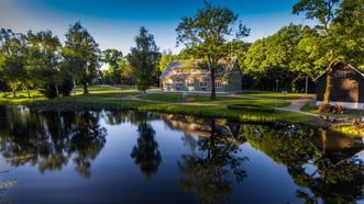
Photo
The Samogitians were first mentioned in 1219 in the Hypatian Codex, describing the peace treaty between the Grand Dukes of Galicia-Volhynia and Lithuania, mentioning two Samogitian dukes, Erdvilas (Gerdvilas) and Vykintas. The term "Samogitia" was not widely used until the beginning of the 20th century; this region was referred to as Samogitia. Vytautas the Great explained the term Samogitia as the land geographically lower than Aukštaitija. Some linguists derive the name Samogitia from the word "žemė" (land). From the 15th century, Latin and German written sources called Samogitian land Samogitia (Samogitiae).
The current capital of Samogitia is Telšiai. Historical centers of Samogitian land include Medininkai (now Varniai), Kražiai, and Raseiniai.
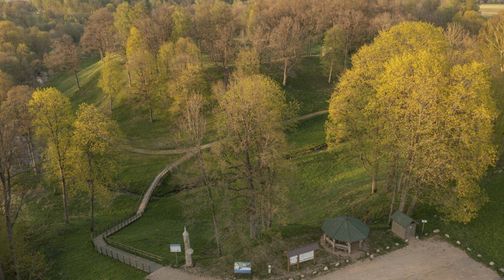
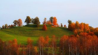
The legendary parts of Samogitia, such as Hilly Samogitia, Old Samogitia, Pakuršė, and Paprūsė, distinctly differ in their nature and landscape features. The most picturesque areas include Hilly Samogitia rising between Telšiai and Šilalė, with lakes like Germantas, Lūkstas, and Biržulis nestled in the hills. In this region, higher hills like Šatrija, Medvėgalis, Girgždūtė, and Padievaitis were anciently considered sacred hills or hillforts. The ancient forests of the region are reminiscent of old times, especially in Baubliai, carefully preserved by Dionizas Poška, where huge oak trunks are scattered around.
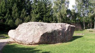
Old Samogitia (a lower elevation area between Šiauliai and Raseiniai) is crossed by the impressive Dubysa Valley. In the north of Samogitia (Pakuršė), the land descends towards the fertile plains between Gruzdžiai and Skuodas, winding towards Latvia through Venta. In the lowlands near Viekšniai lies the vast Kamanai Marsh. The surroundings of Mosėdis are famous for boulders scattered during the Ice Age, with the most significant being the Barstyčiai Stone, the largest in Lithuania. Stones collected in the estates of V. Intas and V. Orvidas also captivate. In the west, Pakuršė descends towards the coast, reaching Kretinga and the Baltic Sea between Palanga and Šventoji, with the famous Birutė Hill and sand dunes. In the south, from Tauragė to Švėkšna and Gargždai, the Paprūsė River meanders from the Samogitian Upland along abundant rivers (from Mituva to the Jūra, Minija, and Akmena), flowing towards the Curonian Lagoon and the Baltic Sea.
Points of interest
1765
Food
561
Accomodation
811
4.2
Observation Towers
Sights
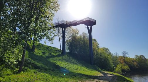
Observation Tower of Jūra and Akmena Rivers Confluence
Mounds
Archaeological Sites
Apuolė Mound
3.8
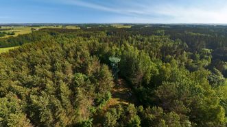
Observation Towers
Aukštagirė Observation Tower
5.0
Technical Museums
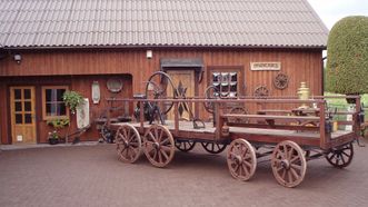
Eight Wheel Carriage Museum
5.0
Stones
Barstyčiai Boulder
2.0
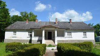
Manors
Belvederis Manor
Catholic Churches
Beržoras Church of St. Stanislaus the Bishop
4.0
Manors
Bijotai Manor
4.5
Watermills
Bijotai Manor Watermill
Mounds
Bilioniai Mound
Botanical Objects
Biliūnai Chestnuts Republic
5.0
Chapels
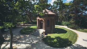
Birutė Hill
Mounds
Biržuvėnai Mound
5.0
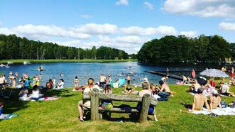
Public Beaches
Bridvaišis Beach
Mounds
Bridvaišis Mound

4.5
Mounds
Bubiai Mound

5.0
Mounds
Burbaičiai Mound
4.0
History Museums
Chaim Frenkel Villa-Museum
Manors
Dabikinė Manor
Loading...

Explore Lithuania & Plan Your Trip
©2025 trip.lt